Here, we have compiled some short and easy routes around the Blackdown Hills AONB. These routes are not too strenuous and good if you have limited mobility or you trying to improve your level of fitness.

Our thanks to the group Green Days Day Care in Wellington who have been trying out some of these routes, giving us feedback and helping us write the descriptions.

We're looking to add more easy routes to the website. So if you have any suggestions of routes that have worked well for you, please feel free email blackdownhills@devon.gov.uk.

3 - Easy routes routes found in the Blackdown HIlls AONB

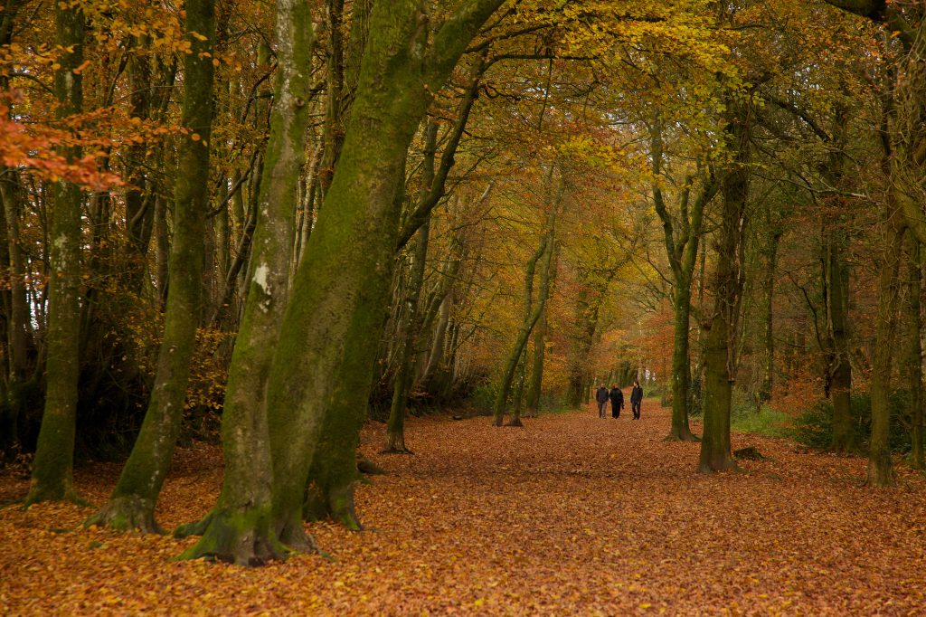
Wellington Monument meander

Download PDF
Easy. Distance 1.5 miles
If you’re looking for somewhere to walk which isn’t too strenuous, a safe bet is the approach to Wellington Monument. The tree-lined walk from the carpark to Wellington Monument is along a level gravel pathway. The complete walk is approximately three-quarters of a mile each way, approximately 15 minutes each way. At the end, you’re rewarded with a view of this impressive monument to the Duke of Wellington.

This striking monument stands as a tribute to the Duke of Wellington and his victory at the Battle of Waterloo. Standing at 175 feet, it is the world’s tallest three-sided obelisk! The Monument is surrounded by a wildlife-rich meadow. On fine days there is ample space around the Monument to enjoy a picnic or fly a kite.

Download Wellington Monument Meander walk map and instructions [pdf]

Walk options

There are several ways in which you can walk to and around the Wellington Monument, shown on our downloadable map:

Easy: 1 mile (1.6km)

Walk from the car park to the Monument and back, along the level gravel pathway lined with beech trees.

The complete walk is approximately 15 minutes each way. At the end, you’re rewarded with a view of this impressive monument.

There is the occasional bump or dip in the path but no steps, styles or steep gradients.

There are around 30 parking spaces close to the start of the walk.

Slightly more challenging: 2 miles (3.2 km)

At the Monument, take the steps down to the right, loop round anti-clockwise through the woods, and climb the steep slope back up.

Walk from Wellington town

Footpaths from Wellington town centre will take you all the way to the Monument via Wellington Castle Fields, a Somerset Wildlife Trust nature reserve. Please take care as you cross the A38.


The walk is particularly beautiful in the autumn, when the leaves turn all shades of brown, red and gold. Very windy days are best avoided as it can get quite blustery up by the Monument. In the winter, be aware that the path can get rather muddy.

The information boards are easy to read and include details of the Monument’s history and a map showing nearby walks.

Grid Reference: ST142167 | Nearest postcode: TA21 9PA

Find out more about what to see and do at the Wellington Monument

Full Page

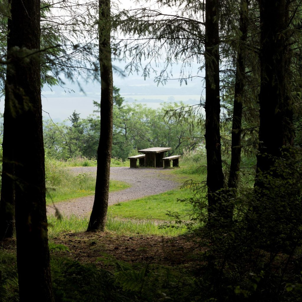
Staple Hill Easy Access Trail walk

Download PDF
Easy. Distance 0.5 miles (0.8km)
As the name suggests, Staple Hill Easy Access Trail allows everyone, including those with limited mobility, to enjoy the beautiful countryside the Blackdown Hills AONB has to offer. The viewpoints have picnic benches and seating and the kissing gates are big enough for wheelchairs and pushchairs. There are also no steep gradients and the wide compacted path surface makes pushing wheelchairs and pushchairs easy.

As the name suggests, Staple Hill Easy Access Trail allows everyone, including those with limited mobility, to enjoy the beautiful countryside the Blackdown Hills AONB has to offer.

Download Staple Hill Easy Access Trail map and instructions [pdf]

This is the highest point in the Blackdown Hills and from here you can see spectacular views across the Vale of Taunton. On a clear day you can see all the way to Wales!

Staple Hill is part of the Forestry England woodlands and one of the points on the Staple Fitzpaine Herepath.

The Easy Access Trail is a loop walk of 800m, starting from the car parking area and taking in two viewpoints. The trail has been designed and built to national ‘all ability’ access standards and is suitable for disabled access, so it is easy for everyone to use.

The viewpoints have picnic benches and seating and the kissing gates are big enough for wheelchairs and pushchairs. There are also no steep gradients and the wide compacted path surface makes pushing wheelchairs and pushchairs easy.

Grid Reference: ST247160 | TA20 3RA

More about Staple Hill Easy Access Trail on the Forestry England website

Full Page

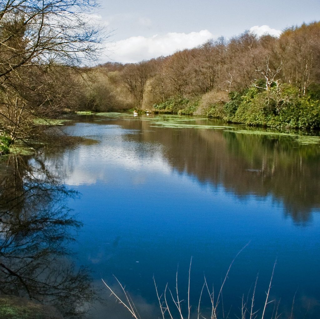
Otterhead lakes walk

Download PDF
Easy. Distance Approximately 1 mile (1.6km)
Otterhead Lakes is a beautiful nature reserve on the site of a former Victorian estate. This circular walk will take you around the various semi-natural habitats including wet woodland, dry deciduous woodland, grassland, and freshwater streams.

Otterhead Lakes is a beautiful nature reserve on the site of a former Victorian estate. This circular walk will take you around the various semi-natural habitats including wet woodland, dry deciduous woodland, grassland, and freshwater streams.

Download Otterhead Lakes walk map and instructions [pdf]

Dormice, badgers, and bat species live in the woodland. The lakes and streams support otters and birds including kingfishers, dippers and wagtails. There are signs that beavers are making use of the reserve too!

Many birds nest on the ground here, so please keep your dog on a lead.

The route is mostly flat, although there is a gradual slope from the car park down to the lakes and a steep section of a few metres half-way round. Bear in mind that some of the pathways are a little bumpy and, at times, can get quite muddy.

Grid Reference: ST22514 | Nearest postcode: TA3 7EF
Loop walk approximately 1 mile (1.6km)

Visit Otterhead Estate and Lakes website for more information.

Full Page