Show routes in map view
On two feet, four hooves or a set of wheels? There are ample routes to explore and enjoy the Blackdown Hills National Landscape.
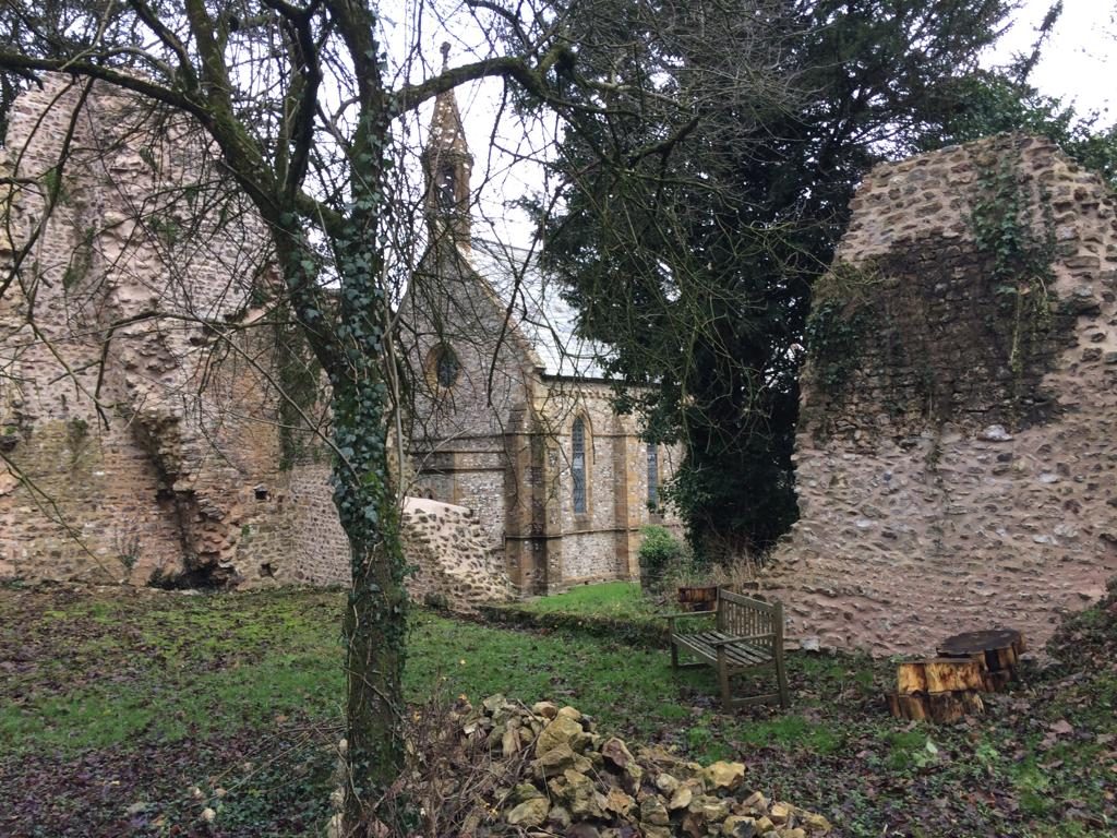
A walk to the site of a 13th century abbey
Medium. Distance 5 miles (8 km)
A walk to the site of a 13th century abbey. One of six circular walks in the southwestern Blackdown Hills - walk 5.
Read More about the A walk to the site of a 13th century abbey route
Blackborough – following in the footsteps of the whetstone miners
Medium. Distance 5 miles (8 km)
A lovely varied walk passing the site of some of the whetstone mines and a chapel where many miners worshipped. There are two steady uphill sections and some...
Read More about the Blackborough – following in the footsteps of the whetstone miners route
Blagdon Hill, Feltham, and Adcombe Wood
Medium. Distance 5 miles (8 km)
A varied and reasonably demanding route on footpaths, minor roads and permissive paths. It includes woodland, hills, farmland and some lovely scenery. What’s more, it starts and finishes...
Read More about the Blagdon Hill, Feltham, and Adcombe Wood route
Broadhembury and North Hill
Medium. Distance 4.5 miles (7 km)
A superb walk with magnificent views and the special atmosphere of this picturesque village. Firstly uphill, then a flat section and finally a good downhill stretch. Approx. 4.5...
Read More about the Broadhembury and North Hill route
Castle Neroche and Curland
Medium. Distance 4 miles (6.5 km)
Castle Neroche and Curland - One of six circular walks in the northeastern Blackdown Hills - walk 3
Read More about the Castle Neroche and Curland route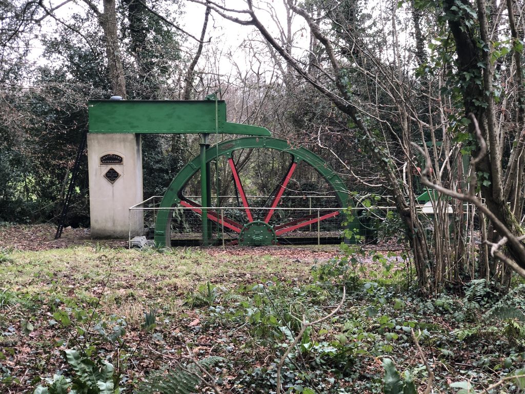
Chard to Chaffcombe
Medium. Distance Distance: 4.5 miles (7 km)
An easy-to-follow walk through some attractive and interesting countryside. There is one hill to climb, but the subsequent view is outstanding. The route starts from the nature reserve...
Read More about the Chard to Chaffcombe routeChard to Chardstock
Medium. Distance 6.5 miles (10.5 kilometres)
The walk to Chardstock is delightful and contains a wide variety of scenery. The return, on quiet lanes, provides good views in all directions. The route is described...
Read More about the Chard to Chardstock route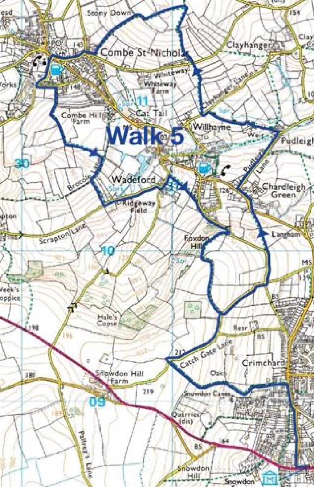
Chard to Combe St Nicholas
Medium. Distance 7.5 miles (12 km)
Please do not be put off by the length of this walk. It is an absolute pleasure, combining many footpaths and quiet lanes. The scenery and surroundings are...
Read More about the Chard to Combe St Nicholas route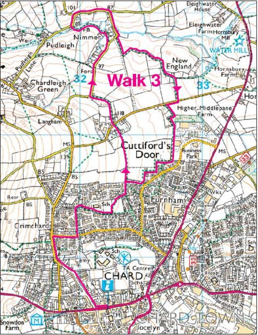
Chard to Nimmer
Medium. Distance 3.98 miles (6.4 km)
This route is fairly flat throughout and features a pleasant combination of town and country. One of six circular walks in and around Chard - walk 3
Read More about the Chard to Nimmer route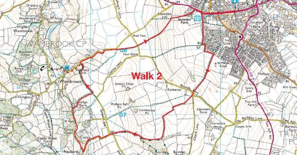
Chard to Wambrook
Medium. Distance 5 miles (8 km)
A constantly undulating walk through typical Blackdown Hills scenery. Most of the route is on footpaths and bridleways, with small sections of quiet lanes. One of six circular...
Read More about the Chard to Wambrook routeChardstock – A watery walk
Medium. Distance 2.8 miles (4.6 km)
Chardstock - Walk 3. A Watery Walk This trail takes you past features associated with water, from streams to minor seepages. Nearly all the plants and animals mentioned...
Read More about the Chardstock – A watery walk routeChardstock – Hedges and green lanes
Medium. Distance 3.5 miles (5.7 km)
Devon’s hedges are among the best in the country, and Chardstock parish has plenty.
Read More about the Chardstock – Hedges and green lanes routeChardstock – Woods and Pasture
Medium. Distance 1.8 miles (3 km)
Walk 4. Woods and Pasture This walk shows the high diversity of habitats in a small part of the parish.
Read More about the Chardstock – Woods and Pasture routeChardstock village
Easy. Distance 1 mile (1.6 km)
Walk 2. Village Walk - This is a quick tour of the edge of Chardstock village.
Read More about the Chardstock village route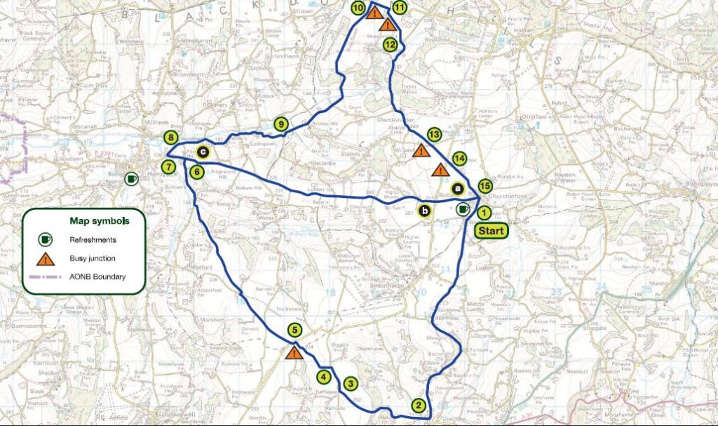
Churchinford, Upottery and Culm Valley
Medium. Distance 17.5 miles (optional shorter route 12 miles)
A moderate ride with some challenging uphill and downhill sections on main route. There is also an optional shorter route. Visit Dunkeswell Abbey, Otterhead Lakes and Upottery Airfield...
Read More about the Churchinford, Upottery and Culm Valley route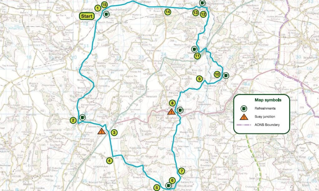
Churchinford, Yarcombe, Stockland, Upottery
Medium. Distance 19 miles (30.5 km)
A moderate ride with one challenging uphill climb and several moderate uphill sections. Along the way, you'll see a lakeside nature reserve, the seat of a former prime...
Read More about the Churchinford, Yarcombe, Stockland, Upottery routeChurchstanton, Burnworthy & Stapley
Medium. Distance 5 miles (8 km)
This route is constantly undulating and is on footpaths, lanes and then back onto footpaths. The Blackdown Hills scenery is excellent throughout.
Read More about the Churchstanton, Burnworthy & Stapley route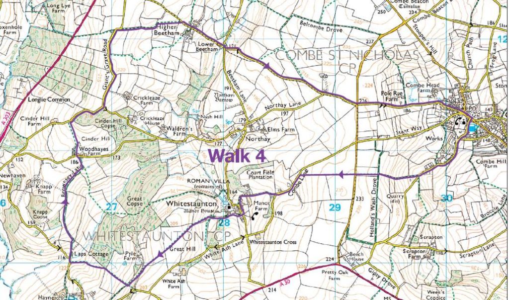
Combe St Nicholas to Whitestaunton
Medium. Distance 6.75 miles (11 kilometres)
This triangular route, is reasonably demanding, but rewards the walker from start to finish with a range of delightful scenery and some superb wide views. Starts and ends...
Read More about the Combe St Nicholas to Whitestaunton route
Culmstock, River Culm and Coldharbour Mill
Medium. Distance 5 miles (8 km)
This is an easy-to-follow and flat walk, mostly beside the River Culm and incorporates a visit to the working wool mill. Approx. 5 miles (8 km).
Read More about the Culmstock, River Culm and Coldharbour Mill routeDalwood and Yarty Valley
Medium. Distance 9 miles (14.5 km)
With two-thirds 'off road' this nine-mile circular takes in miles of peaceful countryside, the picturesque village of Dalwood and various aspects of the River Yarty. There is an...
Read More about the Dalwood and Yarty Valley routeDunkeswell and Sheldon
Medium. Distance 20 miles (32 km)
At 20 miles this is by far the longest, and probably the most varied route taking in the valleys of the Otter tributaries and the wooded escarpments of...
Read More about the Dunkeswell and Sheldon route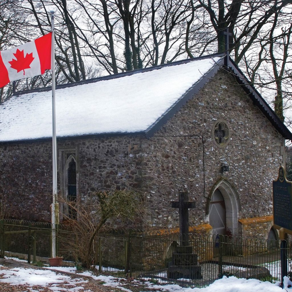
Godford Cross to a place that belongs to Canada!
Medium. Distance Distance: 6 miles (10 km)
Setting off from Godford Cross, just west of Awliscombe, along a picturesque valley road. Climb into the hills to enjoy the views before returning on a scenic bridle...
Read More about the Godford Cross to a place that belongs to Canada! routeHemyock and along the Culm Valley
Medium. Distance 3 miles (4.5 km)
A gentle 3 mile (4.5 km) walk crossing several braids of the river Culm. This walk can be linked to the Hemyock to Owleycombe route (walk 5). One...
Read More about the Hemyock and along the Culm Valley route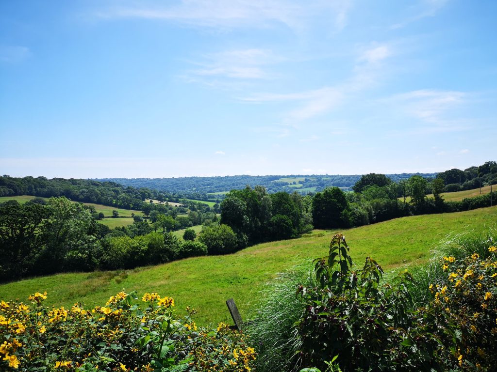
Hemyock to Ashculme and Clayhidon
Easy. Distance 7.5 km (4.5 miles)
A fairly gentle 7.5 km (4.5 mile) walk along quiet lanes and tracks, with an opportunity to visit a nature reserve and a pub. One of six circular...
Read More about the Hemyock to Ashculme and Clayhidon route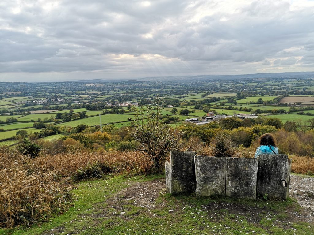
Hemyock to Culmstock Beacon
Medium. Distance 11km (7 miles), or shorter option 4.5 miles (7 km)
From the edge of Hemyock, through Culm Davey and Blackdown Common, on to Culmstock Beacon and back. The best part of the walk is from Whitehall. One of...
Read More about the Hemyock to Culmstock Beacon route
Hemyock to Owleycombe
Medium. Distance 3 miles (4.5 km)
A fairly gentle 3 miles (4.5 km) walk with lovely views across to Culmstock Beacon and beyond. This walk can be linked to the Culm Valley walk (Walk...
Read More about the Hemyock to Owleycombe route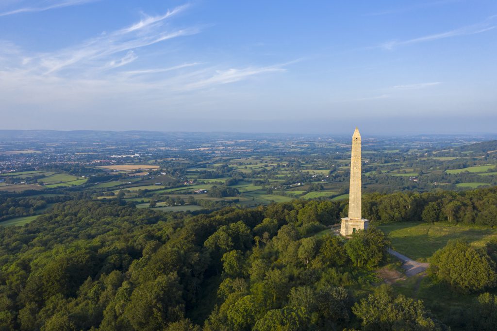
Hemyock to Wellington Monument
Medium. Distance 5.5 miles (9 km)
A strenuous 9km (5.5 mile) walk, well rewarded with lovely views of the Culm Valley looking west and spectacular views of the Quantocks and beyond from the Wellington...
Read More about the Hemyock to Wellington Monument routeHemyock, Blackborough, Broadhembury and Sheldon
Medium. Distance Main route 22 miles (35.5 km); shorter routes 7 miles (11 km) or 12 miles (19 km)
A moderate to challenging 22 mile ride, with two optional shorter routes. This route takes in a 16th century village, Devon's finest prehistoric hillfort and evidence of whetstone...
Read More about the Hemyock, Blackborough, Broadhembury and Sheldon route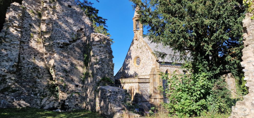
Hemyock, Madford Valley and Dunkeswell Abbey ruins
Medium. Distance 6.5 km (4 miles)
A 6.5 km (4 mile) walk with lovely views of the secluded Madford Valley and a visit to the ruins of a Cistercian abbey. One of six circular...
Read More about the Hemyock, Madford Valley and Dunkeswell Abbey ruins routeHemyock, Uffculme and Culmstock
Medium. Distance 11 miles (18 km), with an optional shorter route of 7 miles (11 km)
A leisurely ride, with a climb near the start. On your way you'll see Coldharbour Mill, a yew tree growing out of a church tower, and the beacon...
Read More about the Hemyock, Uffculme and Culmstock route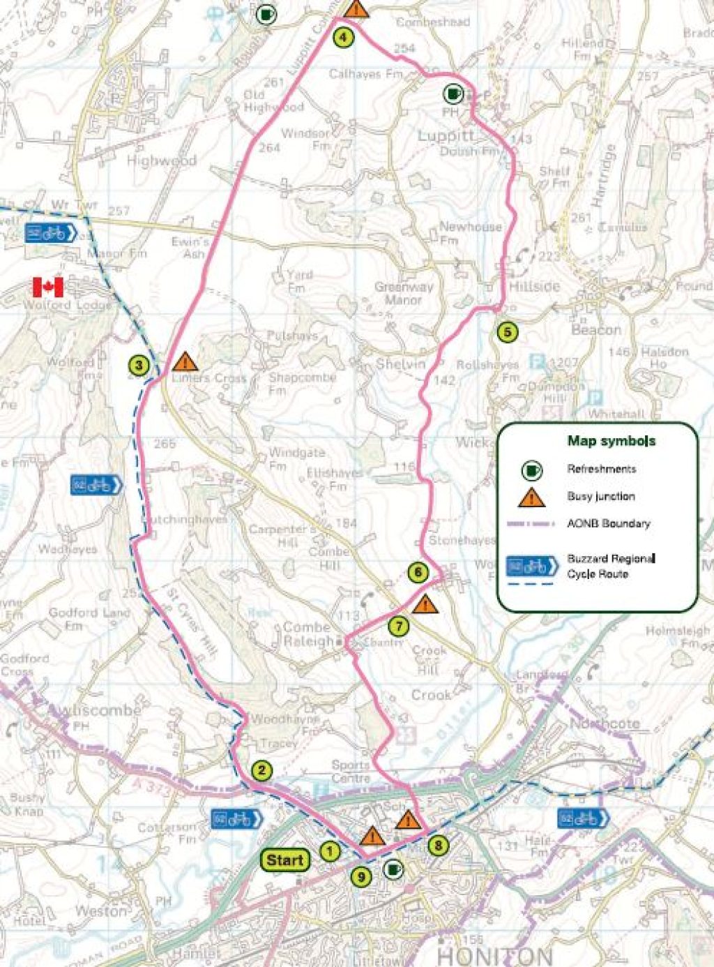
Honiton, Luppitt, and Combe Raleigh
Hard. Distance 11 miles (18 km)
A moderate 11-mile ride with challenging uphill and downhill sections, suitable for experienced cyclists with a good level of fitness. Visit Wolford Chapel and Combe Woods along the...
Read More about the Honiton, Luppitt, and Combe Raleigh routeHoniton, Stockland and Upottery
Hard. Distance 20 miles (32 km) or an optional shorter route of 17 miles (27 km)
A challenging 20 mile ride or an optional shorter route of 17 miles. Explore the Blackdown Hills countryside, with its iron-age hill forts. There is a railway station...
Read More about the Honiton, Stockland and Upottery route
Horner Hill and the English Channel
Hard. Distance 4 miles (6.5 km) – approx 2 hours
Stroll through the turbary on Horner Hill to enjoy resplendent views of the Corry valley and beyond to the English Channel at Axmouth. One of a series of...
Read More about the Horner Hill and the English Channel route
Lovely countryside around an Iron Age hill fort
Medium. Distance 6.5 miles (11 km)
Lovely countryside around an Iron Age hill fort - One of six circular walks in the southwestern Blackdown Hills - walk 6
Read More about the Lovely countryside around an Iron Age hill fort routeLuppitt and Upottery
Easy. Distance 12 miles (19 km)
Wild and remote in parts, this 12-mile ride links some of the most picturesque villages in the Blackdown Hills. Hartridge and Luppitt commons provide a sharp contrast to...
Read More about the Luppitt and Upottery routeMembury, Chardstock, Wambrook, All Saints / Smallridge
Medium. Distance 14 miles (22.5 km)
This scenic 14-mile circular ride boasts wonderful views and glimpses of the sea. There is plenty of off-road riding through wooded valleys and along hill crests. This ride...
Read More about the Membury, Chardstock, Wambrook, All Saints / Smallridge route
Otterford and Otterhead Lakes
Easy. Distance 2.25 & 1.25 miles (3.5 & 2 km)
Otterford and Otterhead Lakes - One of six circular walks in the northeastern Blackdown Hills - walk 4
Read More about the Otterford and Otterhead Lakes route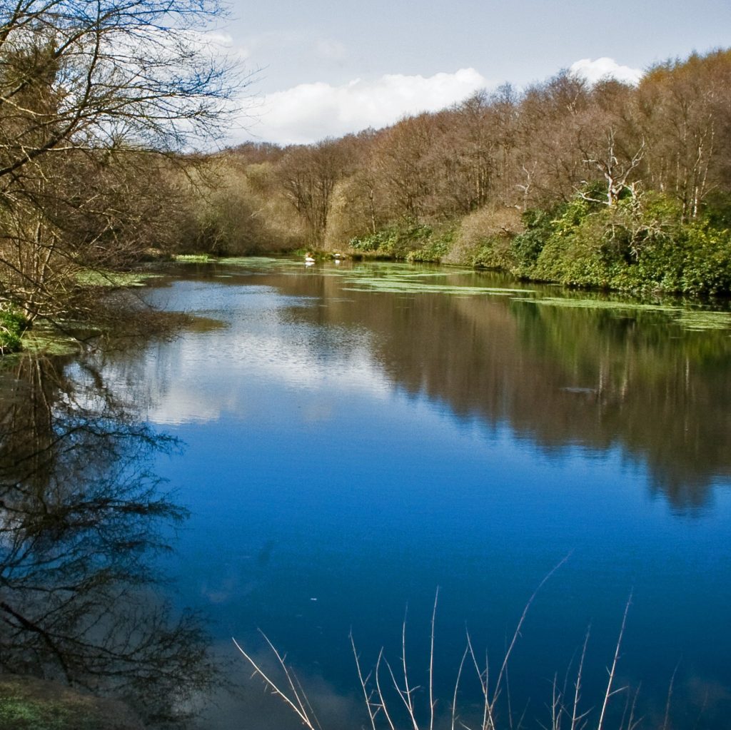
Otterhead lakes walk
Easy. Distance Approximately 1 mile (1.6 km)
Otterhead Lakes is a beautiful nature reserve on the site of a former Victorian estate. This circular walk will take you around the various semi-natural habitats including wet...
Read More about the Otterhead lakes walk route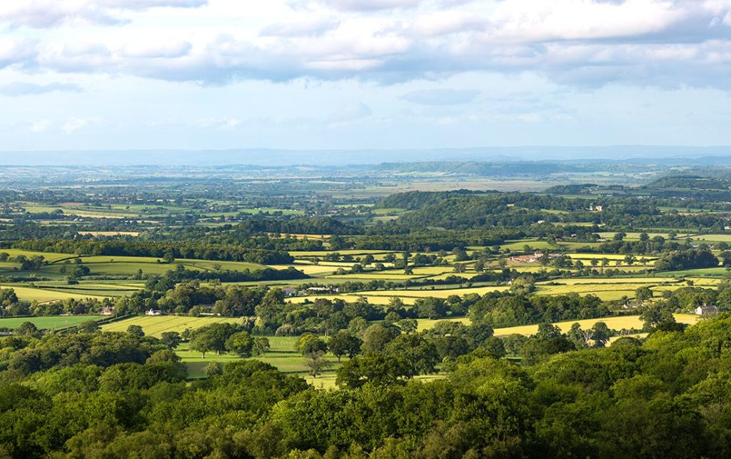
Staple Hill and Staple Park Wood
Medium. Distance 5 miles (8 km)
Staple Hill and Staple Park Wood - One of six circular walks in the northeastern Blackdown Hills - walk 5
Read More about the Staple Hill and Staple Park Wood route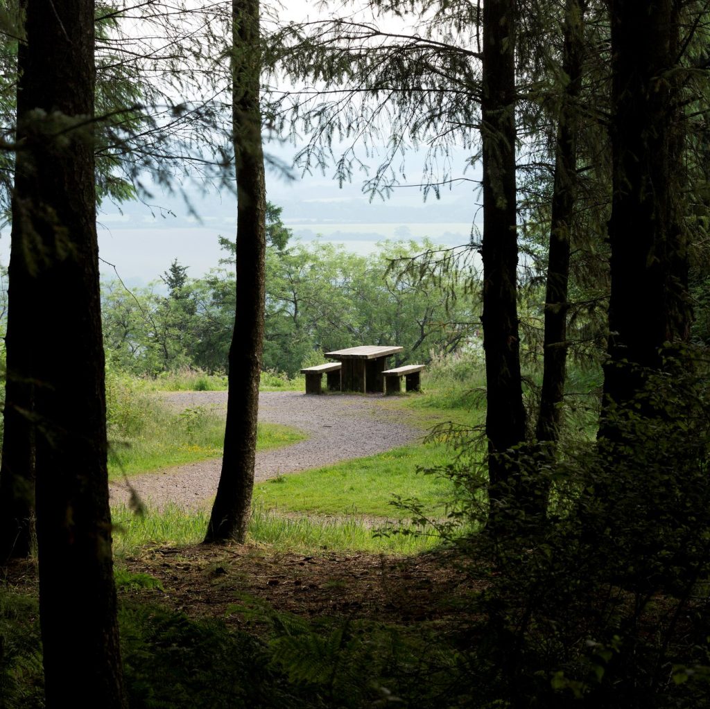
Staple Hill Easy Access Trail walk
Easy. Distance 0.5 miles (0.8km)
As the name suggests, Staple Hill Easy Access Trail allows everyone, including those with limited mobility, to enjoy the beautiful countryside the Blackdown Hills National Landscape has to...
Read More about the Staple Hill Easy Access Trail walk routeStockland and surrounding area
Easy. Distance 12 miles (19 km)
This 12-mile circular is a relatively easy ride with few gates, using mainly green lanes and quiet roads which link the hamlets and farmsteads of the Corry and...
Read More about the Stockland and surrounding area routeStockland Hill, Stockland Turbaries, and the Umborne Brook
Medium. Distance 4 miles (6.5 km)
A circular walk with extensive views of East Devon across the Corry valley to Axminster and to West Dorset. Approximately four miles (about two hours) across the highest...
Read More about the Stockland Hill, Stockland Turbaries, and the Umborne Brook routeStockland to Lake, Langbeer and Featherlake
Medium. Distance 4 miles (6.5 km)
Stockland to Lake, Langbeer and Featherlake - One of six circular walks in and around Stockland - walk 6. A circular walk along old lanes and tracks including footpaths...
Read More about the Stockland to Lake, Langbeer and Featherlake routeStockland village to Millhayes, Broadhayes and back via Great and Little Camps
Medium. Distance 4.5 mils (7 km)
Stockland village to Millhayes, Broadhayes and back via Great and Little Camps One of six circular walks in and around Stockland - walk 3
Read More about the Stockland village to Millhayes, Broadhayes and back via Great and Little Camps route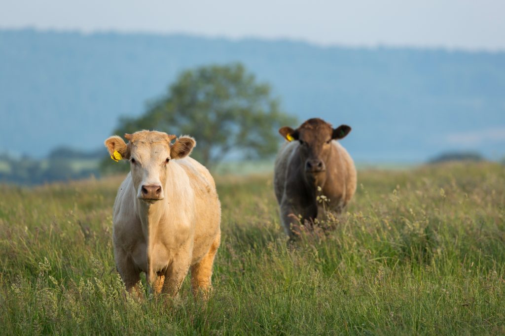
Stockland, Happy Valley & the Umborne Brook
Easy. Distance 2 miles (3.2 km) - approx 1 hour
A walk from the westerly edge of Stockland parish along the old Devon-Dorset border. Enjoy delightful sheltered woodland and a fast-flowing stream. One of a series of six...
Read More about the Stockland, Happy Valley & the Umborne Brook routeStockland, Yarcombe, Whitestaunton and Membury
Medium. Distance Main route 17 miles, shorter route 12.5 miles
A moderate cycle ride with challenging climbs, and some interesting buildings to see along the way. The shorter route includes an exhilarating downhill section and a steep climb....
Read More about the Stockland, Yarcombe, Whitestaunton and Membury route
Thurlbear and Orchard Portman
Medium. Distance 4 1/4 miles (7 km)
Thurlbear and Orchard Portman - One of six circular walks in the northeastern Blackdown Hills - walk 6
Read More about the Thurlbear and Orchard Portman routeValleyheads Way
Medium. Distance 12 miles (19 km)
This 12-mile walk takes you from Hemyock to Staple Hill, along public footpaths and quiet country lanes. The route skirts the valley sides of the Culm, Otter and Yarty...
Read More about the Valleyheads Way route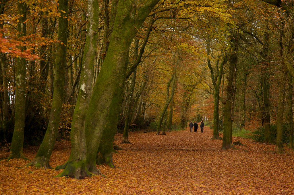
Wellington Monument meander
Easy. Distance 1 mile (1.6 km)
If you’re looking for somewhere to walk which isn’t too strenuous, a safe bet is the approach to Wellington Monument. The tree-lined walk from the carpark to Wellington...
Read More about the Wellington Monument meander route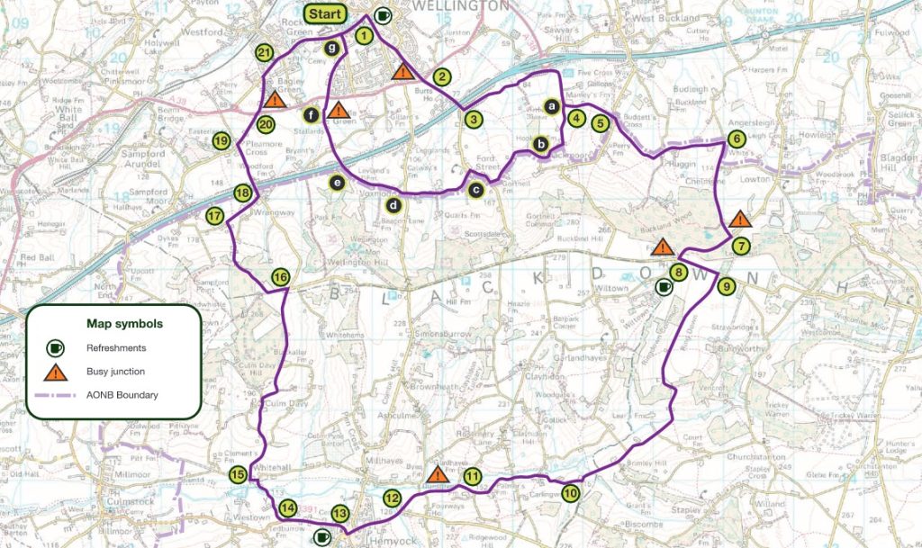
Wellington, Buckland Wood and Hemyock
Medium. Distance 17 miles (27 km); optional easy route 4 miles (6.5km)
A circular route from Wellington town to Hemyock and back, via Buckland Wood. On bank holidays from April to August you can visit Hemyock Castle too. One of eight...
Read More about the Wellington, Buckland Wood and Hemyock routeWytch Lane, Rower Fort and North Hill
Medium. Distance 4.5 miles (7 km)
Wytch Lane, Rower Fort and North Hill - One of six circular walks in and around Stockland - walk 5
Read More about the Wytch Lane, Rower Fort and North Hill route