
Aerial investigation and mapping survey
The Blackdown Hills Area of Outstanding Natural Beauty and East Devon river catchments aerial investigation and mapping survey.
By Cain Hegarty, Stephanie Knight and Richard Sims.
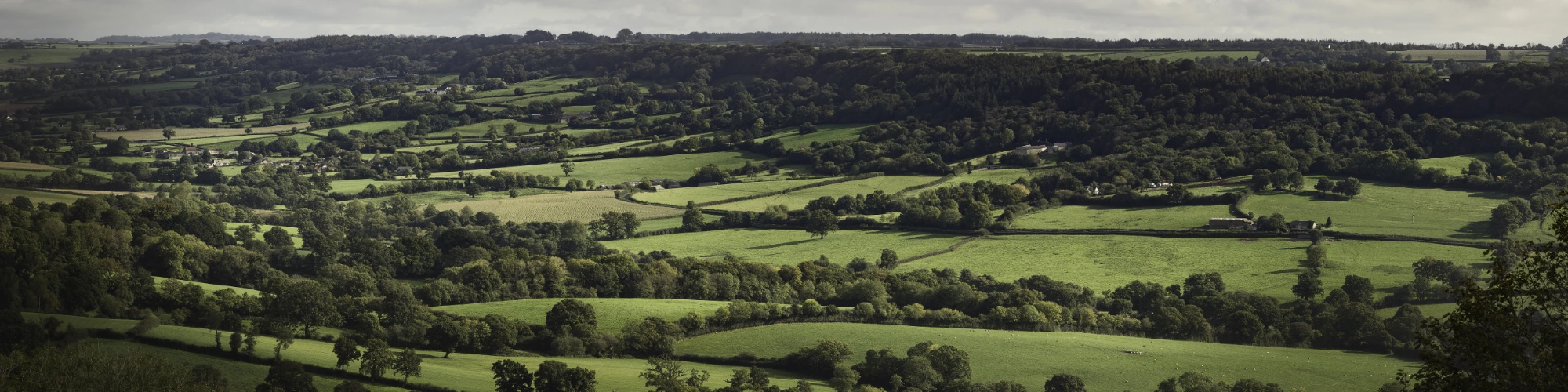
This document is the final report for the interpretive aerial photograph survey of the Blackdown Hills Area of Outstanding Natural Beauty (AONB).
It takes the form of an illustrated report providing a review of the archaeological highlights and themes to emerge from the survey.
The survey undertaken by Aerial Investigation and Mapping (previously National Mapping Programme) between 2016 and 2018.
River catchments aerial investigation and mapping survey [link to pdf]

Footer Navigation
Widget


Widget
